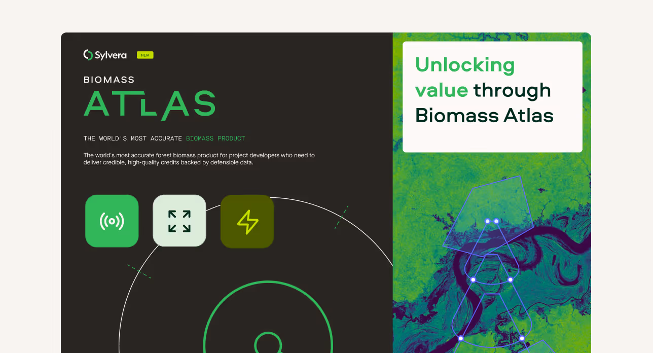
Accurate biomass and canopy height data delivered in hours
10 to 30 meter resolution, 8 to 25 years of historical coverage, quarterly monitoring, built on $10M+ in lidar research.

Wall-to-wall forest data, delivered via API
Accurate carbon stock with independent data. Verify claims before you commit. Get the coverage and accuracy that field campaigns can't deliver.
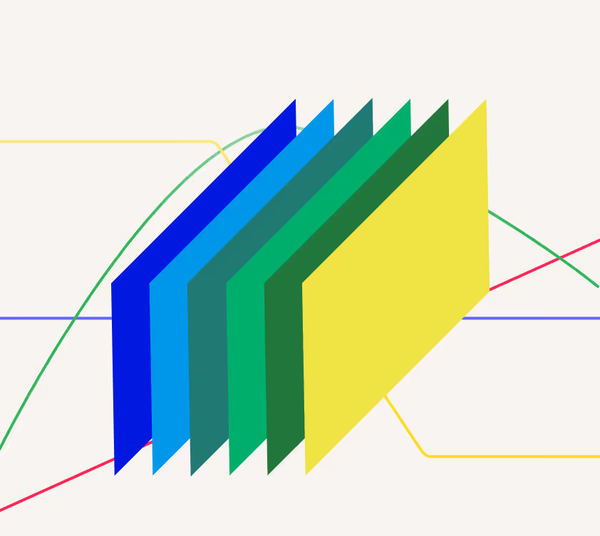
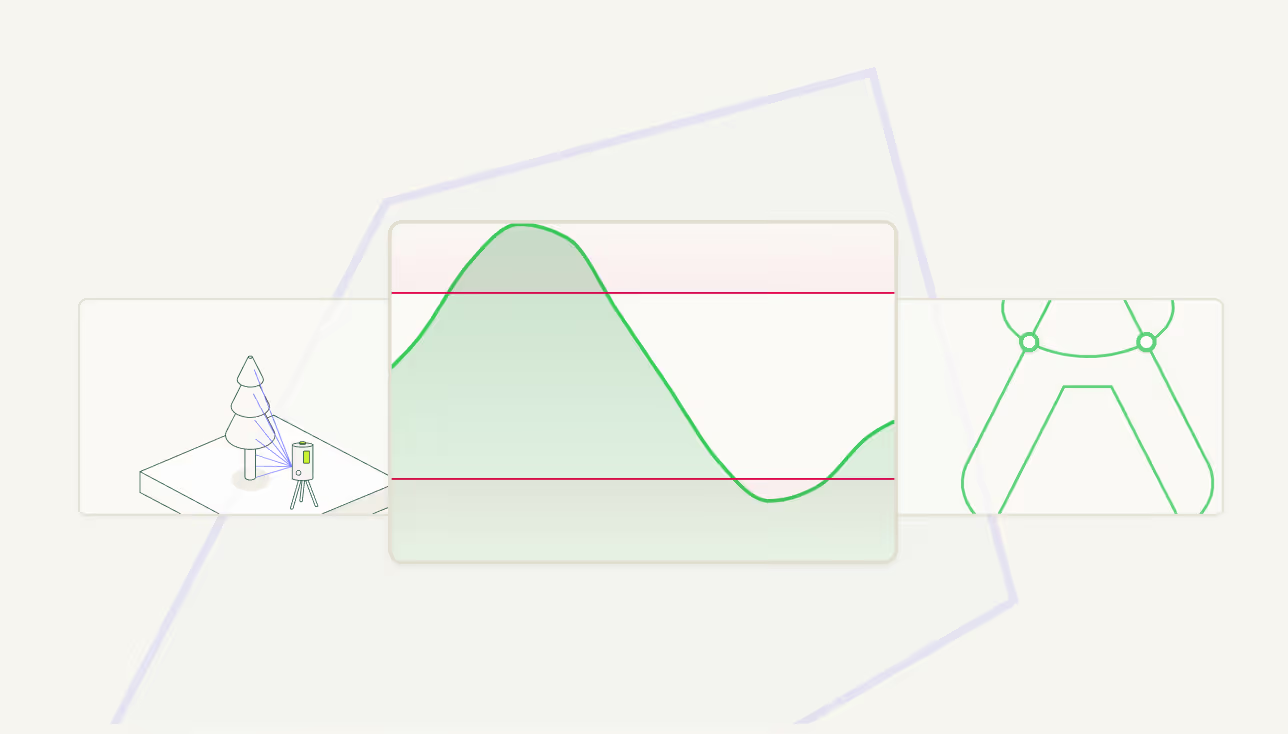
Above-ground biomass
Quantify carbon stock across any forest area with consistent, comparable methodology. Tonnes per hectare at 30m resolution, annually from 2000 to present.

Canopy height
Precise forest structure measurements that reveal growth trajectories, degradation patterns, and recovery progress over 25 years.
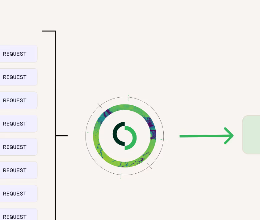
API delivery
Request data for any polygon, any time period. Integrate directly into your workflows and receive results in hours - not the months a field campaign requires.
What sets Biomass Atlas apart
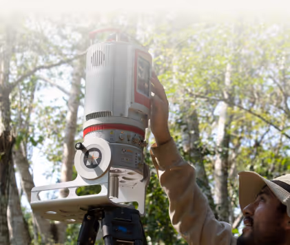
Our data is built on proprietary Multi-Scale lidar data collected across 250,000+ hectares to provide market-leading accuracy at a cost effective price point
Typical biomass data

Biomass Atlas features
For methodology aligned analysis for carbon projects, see our Earth Analytics ‘Earth Analytics’
30m resolution globally
Every 30×30 metre pixel delivers biomass density and canopy height. Enough detail to detect degradation, stratify project areas, and validate baselines.
25 years of history
Annual data from 2000 to present. Track long-term trends, establish credible baselines, and demonstrate permanence with consistent time-series evidence.

Multi-Scale lidar foundation
Calibrated against $10M+ in ground-truth lidar across 250,000+ hectares. The most rigorous validation in the market.
Quantified uncertainty
Every estimate includes explicit error bounds. Defend your numbers in audits and investor due diligence with transparent methodology.
Flexible delivery
API access for direct integration, or request custom exports for any polygon. Scale from single projects to entire portfolios.
First class data and an industry leading model
The largest lidar calibration dataset in the industry
Biomass Atlas provides unparalleled accuracy through calibration against Multi-Scale Lidar campaigns. This extensive ground-truth foundation, spanning over 250,000 hectares in tropical and temperate forests, represents more than $10 million in research investment and surpasses the precision of satellite-only methods.
See how biomass works
Learn how we use our proprietary methods of analysis to determine accurate biomass stock across the globe.
FAQs
Our models are built to be transparent and testable through use of confidence bands, selective coverage and backtesting.
- Confidence bands: We group predictions into low, mid, and high confidence ranges so you can see the certainty level.
- Selective coverage: We only publish estimates where there is sufficient high-quality data. Where the market is too thin, we don’t guess.
- Backtesting: We have tested how well our models have performed against historical data to verify accuracy.
API integration takes minutes. Data delivery takes hours to days—not months.
Once set up, you can query any area of interest and receive annual carbon estimates from 2000 to present, above-ground biomass density at 30m resolution, canopy height measurements, and uncertainty estimates for every pixel. Quarterly updates for your area of interest begin Q1 2026. Contact us to discuss access options for your specific use case.
Biomass Atlas powers Sylvera's ratings while also functioning as a standalone product available to all market participants.
Sylvera Ratings assess overall project quality across multiple dimensions including additionality, permanence, and co-benefits. Biomass Atlas provides the underlying biomass and carbon stock data that anyone—developers, registries, governments, or investors—can use for independent verification. You do not need a Sylvera rating to use Biomass Atlas.
Yes—Biomass Atlas provides wall-to-wall coverage ideal for national and subnational forest monitoring systems.
Governments can use it to establish reference levels with transparent, defensible baselines, track NDC progress with annual monitoring, build Article 6 infrastructure for international carbon trading, and generate rapid reports without waiting years for traditional forest surveys.
Request sample data
Get a quote or sample data for Biomass Atlas