Building the foundations of a market that works
Better climate outcomes don't come from data alone. They come from markets that are trusted, transparent, and built to scale. That's why our work goes beyond products: we actively contribute to the systems, standards, and governments shaping carbon markets globally.
Strengthening how the market operates
Carbon markets are still evolving and the rules that govern them matter.
We work closely with policymakers and institutions to ensure markets:
01
Reward real climate impact
02
Provide clarity for buyers and investors
03
Create fair conditions for project developers
We regularly advise governments and multilateral policymakers on carbon market system design and optimisation, drawing on our unique datasets, practitioner insights and broad networks. We also often respond to key public consultations relating to carbon markets, and publish our responses on our blog.
Clear and effective policy is an essential foundation for carbon markets to reach their potential and maximise the flows of carbon finance to where it can have the greatest impact.
Setting shared standards for data and transparency
Markets scale when participants speak the same language.
Sylvera co-founded the Carbon Data Open Protocol (CDOP) in 2024 to drive standardisation across the industry on how carbon project data is shared, accessed, and used.

Make data more accessible

Make methodologies more transparent

Make decisions more comparable
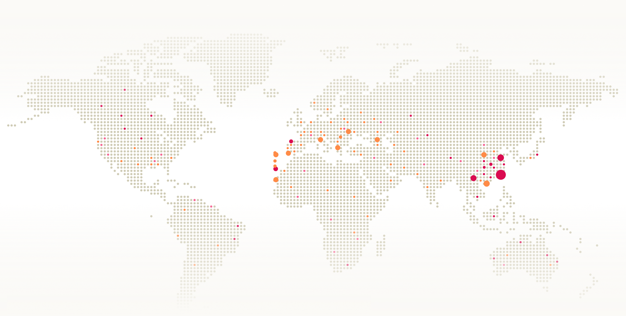
Expanding access to carbon markets globally
For carbon markets to deliver real impact, they must work beyond established regions. Through partnerships like our collaboration with the UNDP Carbon Data Access Partnership, we support:

Unlocking supply in underrepresented regions is essential to scaling global climate solutions, and directing capital where it's needed most.


Advancing how projects are measured and verified
Trust in carbon markets depends on how well projects are understood and monitored. We partner with standards bodies and registries, such as the Woodland Carbon Code, to improve:
Better biomass measurement leads to stronger credibility for both buyers and developers.
Shaping global market infrastructure
Carbon markets don't operate in isolation, they rely on shared infrastructure.
We regularly contribute to global efforts, such as the World Bank's Carbon Markets Infrastructure Working Group, to help define:
Robust infrastructure makes carbon markets more efficient, scalable, and investable.

Bringing policy expertise into the conversation
Markets benefit from diverse, independent perspectives. Our Policy Advisory Board brings together experts across climate science, market design, policy and regulation.
Members of Sylvera's Policy Advisory Board

Molly Peters-Stanley
Senior Fellow, Sylvera

David Carlin
Global Expert in Climate Risk & Sustainable Finance
Lisa DeMarc
Senior Partner & CEO, Resilient LL

Kazuhisa Koakutsu
Director, Article 6 Implementation Partnership (A6IP)
A better market builds better climate outcome
We believe carbon markets will only scale if they work for buyers, investors, developers, and governments alike. That means:
Clear rules
Trusted data
Shared standards
Global participation
We're committed to helping build that foundation.
Explore our market-leading carbon credits and low carbon commodity solutions