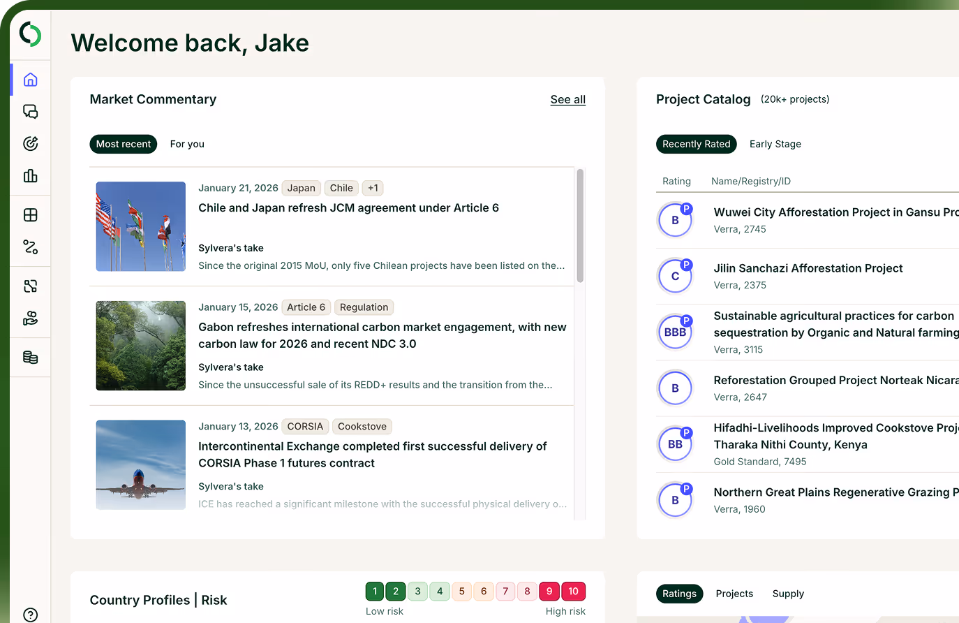
機能する市場の基盤を築く
気候変動対策の成果は、データだけでは得られません。それは、信頼され、透明性があり、拡大可能な市場から生まれるものです。だからこそ、私たちの取り組みは単なる製品提供にとどまりません。私たちは、世界中の炭素市場を形作るシステム、基準、そして政府に対して、積極的に貢献しています。
市場の機能の強化
炭素市場は依然として発展途上であり、それを規律するルールは重要です。
私たちは、政策立案者や機関と緊密に連携し、市場が以下のことを確実に果たせるよう取り組んでいます:
01
気候変動への真の貢献を評価する
02
購入者や投資家に明確な情報を提供します
03
プロジェクト開発者にとって公平な条件を整える
当社は、独自のデータセット、実務家の知見、そして幅広いネットワークを活用し、炭素市場システムの設計と最適化について、各国政府や多国間政策立案者に対し定期的に助言を行っています。また、炭素市場に関する主要なパブリック・コンサルテーションに頻繁に回答しており、その回答内容を当社のブログで公開しています。
明確かつ効果的な政策は、炭素市場がその潜在能力を発揮し、最大の効果をもたらす分野へ炭素金融の資金を最大限に誘導するための不可欠な基盤となります。
データと透明性に関する共通基準の設定
市場は、参加者が共通の言語を話すことで拡大します。
Sylvera 、炭素プロジェクト データの共有、アクセス、利用方法に関する業界全体の標準化を推進するため、2024年にCarbon Data Open Protocol( CDOP)Sylvera 。

データへのアクセスを容易にする

方法論の透明性を高める

意思決定の比較を容易にする
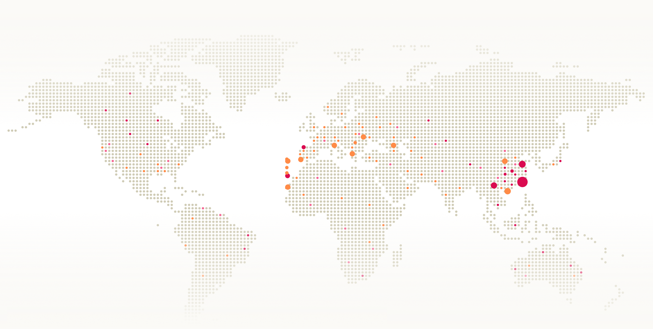
世界的な炭素市場へのアクセス拡大
炭素市場が真の効果を発揮するためには、既存の地域枠を超えて機能する必要があります。国連開発計画(UNDP)の「カーボン・データ・アクセス・パートナーシップ」との協働のような取り組みを通じて、私たちは以下の活動を支援しています:

世界的な気候変動対策の規模を拡大し、最も必要とされている場所に資本を誘導するためには、十分な支援が行き届いていない地域における供給体制の整備が不可欠です。


プロジェクトの評価・検証手法の向上
炭素市場への信頼は、プロジェクトがどの程度理解され、適切に監視されているかにかかっています。私たちは、「ウッドランド・カーボン・コード」などの基準策定機関や登録機関と提携し、以下の改善に取り組んでいます:
バイオマスの測定精度が向上すれば、購入者にとっても開発者にとっても、信頼性が高まります。
グローバルな市場インフラの構築
炭素市場は単独で機能するものではなく、共有インフラに依存しています。
当社は、世界銀行の「炭素市場インフラ・ワーキンググループ」など、世界的な取り組みに定期的に貢献し、以下の定義策定を支援しています:
強固なインフラは、炭素市場をより効率的で、拡張性が高く、投資に適したものにします。

政策に関する専門知識を議論に取り入れる
市場は、多様で独立した視点から恩恵を受けています。当社の政策諮問委員会には、気候科学、市場設計、政策、規制の各分野の専門家が集まっています。
Sylvera政策諮問委員会のメンバー

Molly Peters-Stanley
Sylvera上級研究員

デビッド・カーリン
気候リスクおよびサステナブル・ファイナンスのグローバル・エキスパート

リサ・デマーク
Resilient LL シニアパートナー兼CEO

小渕和久
第6条実施パートナーシップ(A6IP)ディレクター
より良い市場は、より良い気候変動対策をもたらします
私たちは、炭素市場が買い手、投資家、開発者、そして政府のすべてにとって有益である場合にのみ、その規模を拡大できると考えています。つまり、
明確なルール
信頼できるデータ
共通の基準
世界的な参加
私たちは、その基盤づくりに貢献することをお約束いたします。
市場をリードする当社のカーボンクレジットおよび低炭素商品ソリューションをご覧ください