“Over the years we’ve invested significantly in our field data team - focusing on producing trusted ratings. While this ensures the accuracy of our Ratings, it doesn’t allow the scale across the thousands of projects that buyers are considering.”

For more information on carbon credit procurement trends, read our "Key Takeaways for 2025" article. We share five, data-backed tips to improve your procurement strategy.

One more thing: Connect to Supply customers also get access to the rest of Sylvera's tools. That means you can easily see project ratings and evaluate an individual project's strengths, procure quality carbon credits, and even monitor project activity (particularly if you’ve invested at the pre-issuance stage.)
Book a free demo of Sylvera to see our platform's procurement and reporting features in action.
Sylvera’s Multi Scale Lidar (MSL) team has had an action-packed year. Not only did we invest in new LiDAR drones, but we also hired Senior Field Scientist - Beisit Puma - who has a wealth of knowledge on tropical forests and, in particular, on tropical forest inventory data collection and analysis.
By continuing to invest in talent and technology, our data collection process is more efficient. The data that we collect using aerial and terrestrial data collection methods are used as calibration data. What does this mean in practice? Sylvera's Machine Learning (ML) team uses this data to train and calibrate Earth Observation-based machine learning models to improve their accuracy. These models are leveraged by the Ratings team when they are assessing carbon projects. Our methods are 13x more accurate, because we combine conventional methods with our state-of-the-art technology and additional layers of research.
With conventional methods, the process usually involves:
- Recording the tree species, height, and diameter at breast height (which is standardised to 1.30m)
- Using allometric equations to estimate tree volume and biomass
Traditional methods contain high uncertainties, whereas by incorporating Sylvera’s additional research methods, we can ensure higher accuracy. Our methods allow us to:
- Estimate the amount of carbon from tree volumes calculated from 3D point clouds
- Collect data across thousands of hectares, allowing us to build region wide aboveground biomass maps
Collecting 20x more data with new LiDAR drones
Utilizing this new drone technology offers incredible efficiencies to our data collection processes, increasing our capabilities in terms of range and endurance. The drones carry our scanners for longer and farther, which has allowed us to open up two configurations of aerial data collection, alongside our conventional data collection method of inventory, and the terrestrial laser scanning (TLS) we already do at ground level.

These tech advances mean that we can increase our aerial data collection from around 1,000 hectares to between 15,000-25,000 hectares in a single field campaign. In a year the MSL field teams can collect over 100,000 hectares of aerial LiDAR data. To put this into perspective, this is equivalent to the size of Berlin or Bangkok.
Expanding our field teams, both in-house and with local support
Doubling the field team has also meant we double our terrestrial data collection (TLS and inventory) capacity too.

The increase in data collection capabilities was reliant on expanding our field team, from three people at the beginning of the year to a team of six. The field teams' new hires Benoit, Chloe and Harry have made it possible for us to achieve our goal of having two field teams running independently in different locations around the world; for instance, this year one of our teams went to Belize while another travelled to Mozambique.
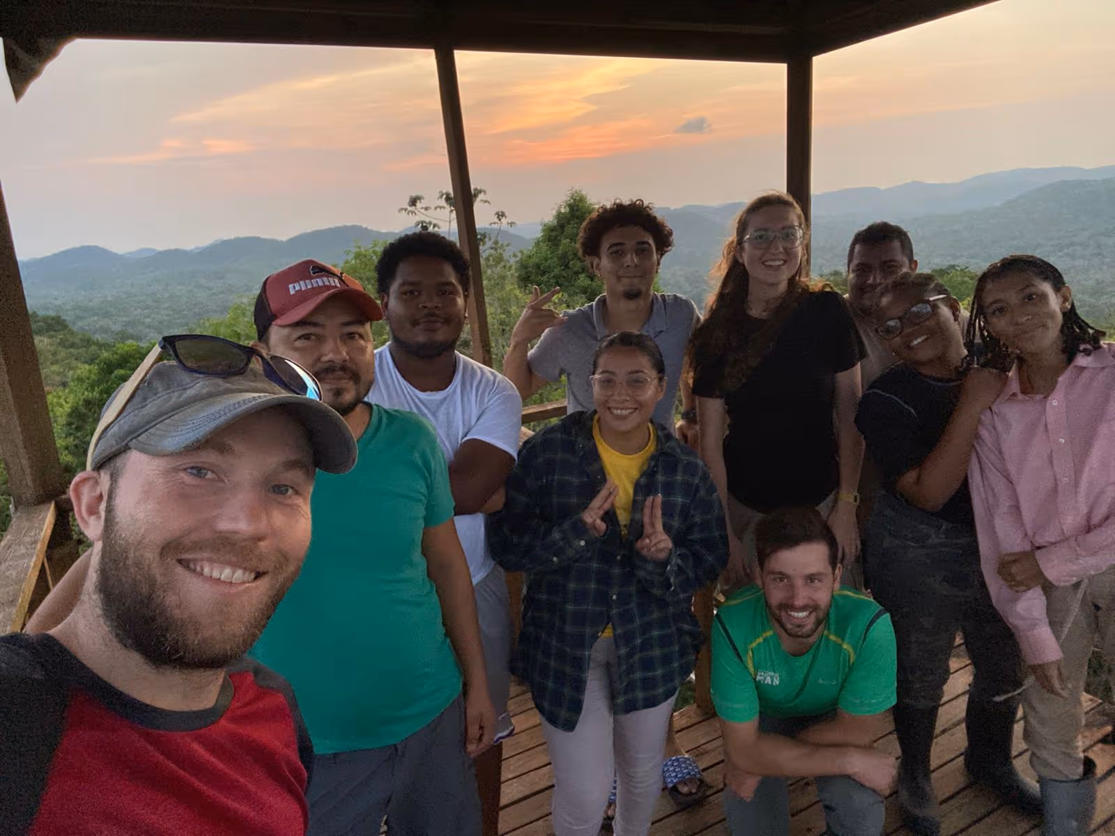
Our team expertise has diversified, which is invaluable to our work. For example, Benoit has an MSc in Forest and Nature Management, with experience as an auditor for the sustainable wood processing industry, and Chloe has a background in biological sciences, and spent the last year working as a Research Assistant in Malawi for a bat conservation organization. Harry has an MSc in Robotics, and was previously working in the field of marine robotics.

We also rely on local field teams consisting of a mix of students, forestry staff and field assistants. We hire teams of around ten people and draw on their local knowledge of the forest to help us complete a campaign. In Belize, we worked closely with the forestry department, and in particular with Dr Percival Cho, who has decades of field experience and was the former CEO in the ministry of Agriculture, Fisheries and Environment of Belize.
On the horizon
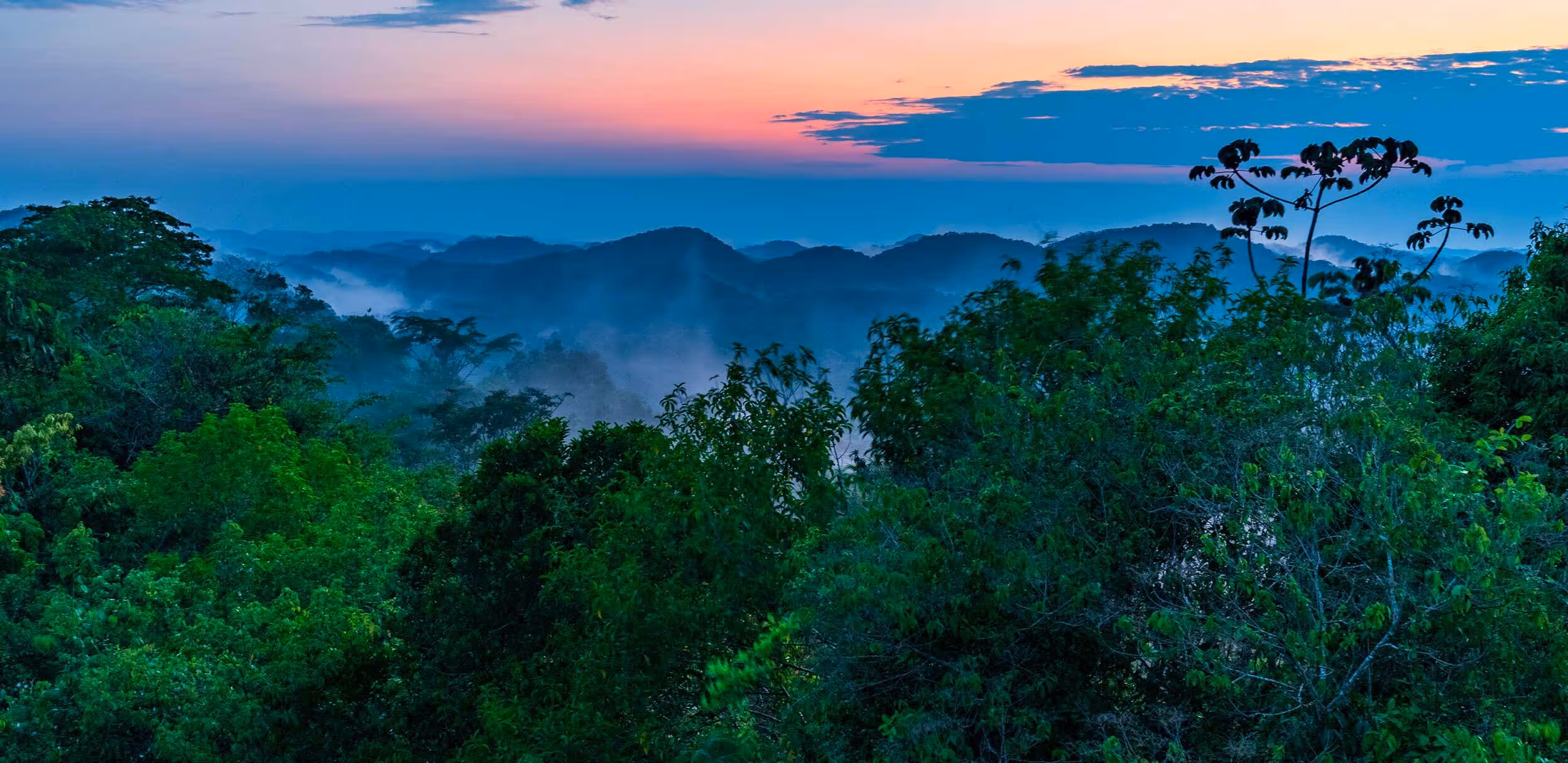
As a team, in less than a year we’ve collected data in the UK, Gabon, Peru, Belize, and Mozambique.

Across these countries we’ve scanned over 3 million trees and this number is still growing. The future campaigns for the MSL field team rely on a multitude of factors, but we’re planning on collecting data from tropical forests all over the world and creating the world’s largest and most accurate dataset on carbon stored in forests.
Our natural ecosystems are the world's greatest carbon sinks. But they haven't been properly valued or protected, because until now, no one has been able to quantify their functional benefit. We hope to change this. After all, without our forests there is no net zero.