
A carbon number that holds up
We run the whole Multi-Scale LiDAR campaign, end to end, and hand you a measured carbon stock your verifier, your offtaker, and your investors can all check.
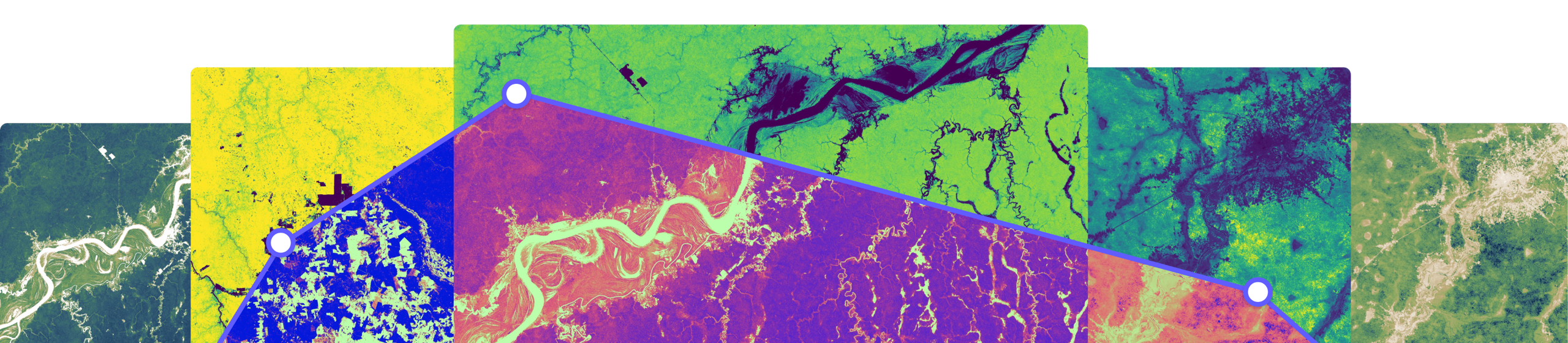
Everything your project needs to measure its carbon stock, and defend the number
Our field science team runs Multi-Scale LiDAR campaigns end to end: sampling design, permits and logistics, field measurement, processing, and delivery. We have run them from Mozambique to the Amazon to the Scottish Highlands, at project scale and at national scale, each one designed to hit the precision your methodology needs.
One team from sampling design to delivery
Multi-scale means three nested scales: terrestrial scanning measures individual trees, drone lidar bridges the plot to the landscape, and helicopter lidar carries it across tens of thousands of hectares. Aligning them to millimeter precision is the hard part, and it is what lets uncertainty be carried through every step instead of lost in a handover between two vendors.
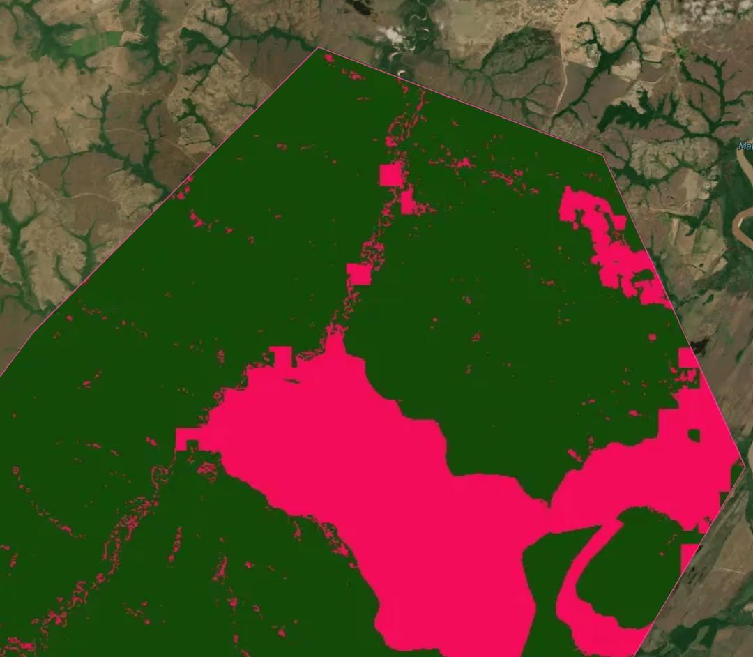
Volume computed from each tree's own geometry
A conventional crew measures diameters and runs them through an allometric equation built from a sample of trees somewhere else. We reconstruct each tree's woody structure in 3D and compute volume from that geometry, which removes the extrapolation step. Converting that volume to carbon still needs a wood density value and a carbon fraction from published tables.
Permits, logistics, and safety
Research permits, protected-area licenses, temporary-admission customs clearance for the scanners, landowner and community access agreements, and operator-of-record insurance held in country, with crews working to a safety framework built over four years of campaigns. Field data uploads over satellite link and is preprocessed while the crew is still on site, so a data quality problem surfaces in the field rather than six months later when nobody can go back.
What sets Sylvera fieldwork apart?
Typical fieldwork sourcing

17 campaigns across 9 countries since 2021
More than $10 million invested in field measurement since 2021, over 350,000 hectares of airborne lidar and 120 hectares of terrestrial lidar, from tropical rainforest in Amazonia and the Congo Basin to Atlantic Forest, miombo woodland, and temperate forest.
The method is peer-reviewed
Our multi-scale method is published in Communications Earth & Environment. Across 50,000 hectares of Mozambican miombo it found 1.71 ± 0.09 TgC of aboveground carbon, against the 0.79 to 1.14 TgC that existing regional and pantropical estimates give for the same landscape. No destructive harvest was taken there, so the finding is a disagreement between two methods rather than a measured error. Where a forest holds more carbon than the equations predict, that difference is creditable volume the project is not being paid for.
An open reference dataset
Sylvera leads the Open Carbon Data Project with the Rockefeller Foundation, Meta, the World Resources Institute, the Symbiosis Coalition, and the State University of Santa Cruz, releasing a benchmark field dataset from the Brazilian Atlantic Forest under an open license so better dMRV tools can be built for the region.
Where we sit with the standards
Sylvera is one of three Data Service Providers vetted by Verra to supply stocking index data for VM0047 performance benchmarks. Equitable Earth's Protocol for Field Calibration requires lidar scanning in every sample plot, and excludes conventional diameter and height measurements from calibration.
Comprehensive field data
What a campaign covers
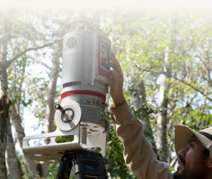
Terrestrial laser scanning of every plot on a 10 to 20 meter grid set by canopy density, following the CEOS good practice protocol for aboveground biomass validation. A full inventory of every stem, with species confirmed in the field by a trained botanist. Soil organic carbon coring with bulk density, upscaled to a wall-to-wall surface by gamma-ray spectrometry calibrated against those cores. Helicopter lidar across the landscape, with drone lidar bridging the plot to the flight line.
What you receive
A documented level structure running from raw scans, through georeferenced point clouds, a point cloud for each tree, and a geometric structure model per tree, to a 30 meter gridded biomass surface with a matching uncertainty layer. Data rights are settled before fieldwork starts, not after. Sylvera holds the IP and licenses it to you in perpetuity, across every level, for PDD submission, methodology compliance, credit generation, and academic research, extending to the VVB and registry who have to review it.
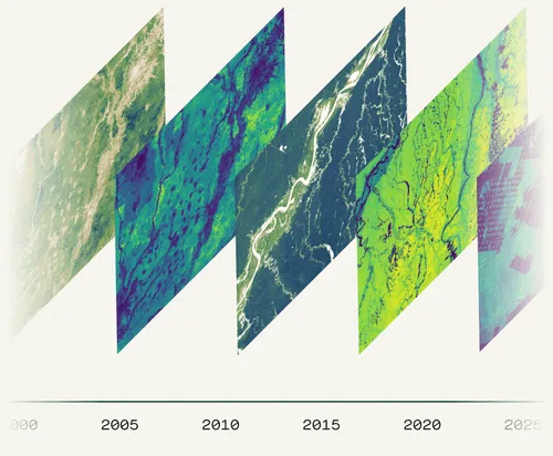
Biomass Atlas every year in between
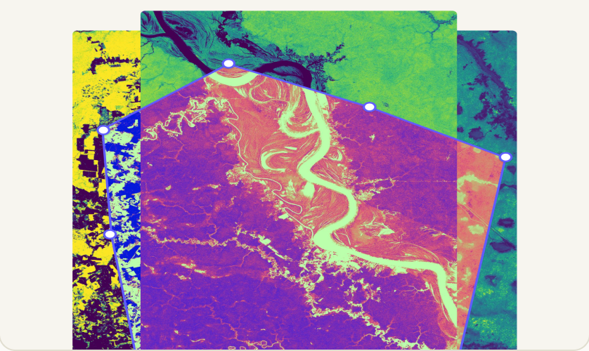
Annual aboveground biomass and canopy height across your project area at 30 meter resolution, with an uncertainty layer on every estimate and a consistent record back to 2000 from the day you start. Your project has a defensible history before it issues a single credit.
FAQs
Two differences, one commercial and one in the method. Commercially, a contractor delivers a single campaign and the relationship ends, where your baseline campaign, annual Biomass Atlas monitoring, and remeasurement all come from the same team on the same data model. In the method, a contractor's carbon number rests entirely on an allometric equation, a statistical relationship fitted to a sample of harvested trees that usually does not include trees like yours.
Ours is computed from each tree's own reconstructed geometry, so the equation gets checked rather than trusted. Wood density and carbon fraction still come from published tables, for us as much as for them.
Terrestrial laser scanning of every plot on a 10 to 20 meter grid set by canopy density, following the CEOS good practice protocol for aboveground biomass validation, plus a full inventory of every stem with species confirmed in the field by a trained botanist. Soil organic carbon coring with bulk density is upscaled to a wall-to-wall surface by gamma-ray spectrometry calibrated against those cores. Helicopter lidar covers the landscape, with drone lidar bridging the plot to the flight line.
We hold the research permits, protected-area licenses, temporary-admission customs clearance for the scanners, landowner and community access agreements, and operator-of-record insurance in country, with crews working to a safety framework built over four years of campaigns. Field data uploads over satellite link and is preprocessed while the crew is still on site, so a data quality problem surfaces in the field rather than six months later when nobody can go back.
Timelines depend on project size, access, and the permitting regime in country, and we scope both with you before a campaign is agreed. Because the research permits, customs clearance, community access agreements, and in-country insurance are held by us rather than by you, the delays that come with them sit on our side of the contract.
Plot counts are derived from a precision target rather than from a budget, typically ±10% of the mean at 90% confidence, and every layer we deliver carries its uncertainty as a confidence interval. Across 50,000 hectares of Mozambican miombo our published method found 1.71 ± 0.09 TgC of aboveground carbon, where existing regional and pantropical estimates give 0.79 to 1.14 TgC for the same landscape.
Sylvera is one of three Data Service Providers vetted by Verra to supply stocking index data for VM0047 performance benchmarks, and Equitable Earth's Protocol for Field Calibration requires lidar scanning in every sample plot while excluding conventional diameter and height measurements from calibration. We deliver the same allometric outputs alongside the geometry, so your VVB can see both, and the licence extends to the VVB and the registry who have to review the data.
Data rights are settled before fieldwork starts, not after. Sylvera holds the IP and licenses it to you in perpetuity, across every level from raw scans to the gridded biomass surface, for PDD submission, methodology compliance, credit generation, and academic research. The licence extends to the VVB and registry who have to review it.
Less often than a campaign-only approach requires. Between field campaigns, Biomass Atlas gives you annual aboveground biomass and canopy height across your project area at 30 meter resolution, with an uncertainty layer on every estimate and a consistent record back to 2000 from the day you start, so your dashboards and investor updates stay current without sending a crew back.
No. Methodologies prescribe deterministic analyses, and we execute them using data anyone can buy: Biomass Atlas is available directly from Sylvera or through distribution partners. You complete, sign, and submit your own PDD, and you decide which of our outputs to use. Our Ratings analysts are ring-fenced from fieldwork and geospatial engagements, and Ratings are produced independently of commercial outcomes.
Yes, in the price buyers pay. In H1 2026, ARR credits rated BBB or above sold at an average of $28.55 against $9.12 for credits rated BB or below, and REDD+ credits rated BBB or above at $8.40 against $1.82. Field measurement is the evidence under a project's carbon stock number, which is the first thing a VVB, an offtaker, or an investment committee tests.
Forestry projects where registry-mandated field measurement is a large, recurring cost and where the measured number materially changes how the project is presented to investors and offtakers. In practice that means REDD+ and improved forest management at scale, plus jurisdictional programs. We run a limited number of campaigns each year, so the scheduling conversation usually needs to start well before your registration date.
Talk to our field science team
Tell us your methodology, your project area, and your registration or verification date, and we will come back with a sampling design and a fixed campaign price. Campaign slots are limited and scheduled around ecological and permitting windows, so early conversations are worth having.


